Castles of "Croatia" MONKODONJA vs NESACTIUM

MONKODONJA
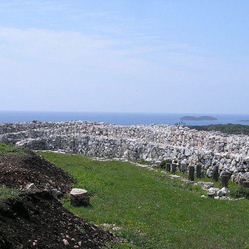
Monkodonja is a hill fort occupied about 1800–1200 BC during the Bronze Age, located near the city of Rovinj in the Croatian region of Istria. It is located on a hillside surrounded by a spatial area, extending in length from 2.5 km to the sea, and on a cliff at 81 m above sea level, a form of irregular ellipse stretching east-west, 160 m × 250 m. The settlement was surrounded with three concentric walls and two entrances that have explored so far (so called Western and Northern). Not far from the road to the north door there is a pit deep 50 m. The defensive wall surrounding the settlement was about 1 km long, about 3 m wide and at least 3 m tall. It was built by laying stone in the drywall technique. The stone was peeled off the hill, and its removal resulted in a useful surface. Approximately 1,000 people lived in the well-organized settlement: on the highest part was the acropolis, below it the upper town and still lower the lower town. The Acropolis, where the higher layer of communities lived, had a nearly rectilinear space. In other parts of the settlement there was a crafts area. The houses differed with the position, size and manner of construction, and they were separated by passages and streets. Each had a hearth and numerous fragments of pottery pots originated from local workshops, but pots also came from the far east of the eastern Mediterranean. It was the first finding of fragments of Micens (Bronze Age) bowl in Istria. The Monkodonja was an important point in the communications of the northern Adriatic with Central Europe and the Aegean.
Statistics for this Xoptio

NESACTIUM
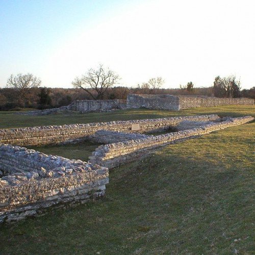
Nesactium (Istrian dialect: Vizače, Croatian: Nezakcij, Italian: Nesazio) was an ancient fortified town and hill fort of the Histri tribe. Its ruins are located in southern Istria, Croatia, between the villages of Muntić and Valtura. In pre-Roman times, Nesactium, ruled by its legendary king Epulon, was the capital of the tribal population of the peninsula called Histri, who were also connected to the prehistoric Castellieri culture. Some theories state a later Celtic influence, but who they were and where they came from has never been discovered for certain. It is believed that their main economic activities were trade and piracy all over the ancient Mediterranean Sea. In 177 BC, the town was conquered by the Romans and destroyed. Rebuilt upon the original Histrian pattern, it was a Roman town until 46–45 BC, when the Ancient Greek colony Polai was elevated to Pietas Iulia, today Pula. The town was located on the ancient road Via Flavia, which connected Trieste to Dalmatia. The area was abandoned by the Romans in the 6th century, following the Slav invasions. Its Histro-Roman walls still remain.