Castles of "South Africa" LOUIS TRICHARDT vs MAPUNGUBWE

LOUIS TRICHARDT
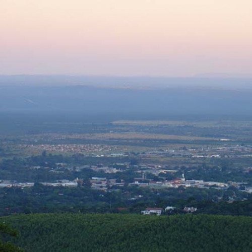
Louis Trichardt (formerly Trichardtsdorp, and Makhado from 2003 to 2014), informally shortened to Louis Tri (/lʊɪstriː/), is a town at the foot of Songozwi, in the Soutpansberg mountain range in the Limpopo province of South Africa. It is the centre of the Makhado Local Municipality, which comprises 16,000 km² with a total population of 270,000 (2001). Louis Trichardt is located in a fertile region where litchis, bananas, mangoes and nuts are produced. The N1 National Route runs through the town. Louis Trichardt is 437 kilometres from Johannesburg and one hour's drive from the Zimbabwean border at Beitbridge. Louis Trichardt was known for a time as Makhado, but it was changed back to Louis Trichardt. But now many people use the one name or the other. Vleifontein, Elim, Tshikota,, Madombidzha, Makhado Park and Dzanani surround the town at all directions. Like many other towns in South Africa, Louis Trichardt had its origins in Voortrekker settlement of the area. Two groups of Trekkers reached the Soutpansberg mountain range in 1836, one under the leadership of Louis Tregardt (born near Oudtshoorn, South Africa, 10 August 1783) and another under Hans van Rensburg. Van Rensburg decided to lead his group to Sofala (near current Beira), Mozambique, but his entire party was killed en route. Trigardt and his group stayed near the mountain, camping near what eventually became the town of Louis Trichardt. They planted crops and started exploring the area northwards in an attempt to locate Van Rensburg and his group. After spending a year in the area, they decided to head for the fort at Delagoa Bay, a journey that took them 7 months to complete, during which more than half the group perished (including Tregardt himself).
Statistics for this Xoptio

MAPUNGUBWE
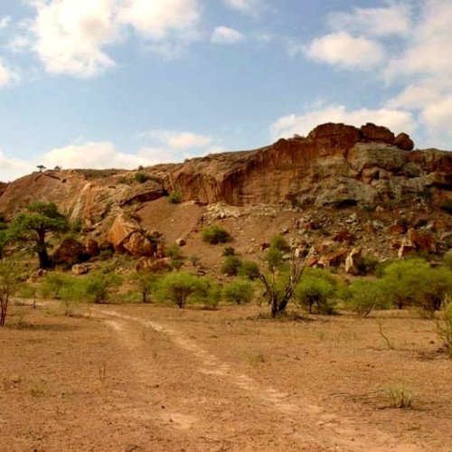
The Kingdom of Mapungubwe (or Maphungubgwe) (c.1075–1220) was a medieval state in South Africa located at the confluence of the Shashe and Limpopo rivers, south of Great Zimbabwe. The name is derived from either TjiKalanga and Tshivenda. The name might mean "Hill of Jackals". The kingdom was the first stage in a development that would culminate in the creation of the Kingdom of Zimbabwe in the 13th century, and with gold trading links to Rhapta and Kilwa Kisiwani on the African east coast. The Kingdom of Mapungubwe lasted about 80 years, and at its height the capital's population was about 5000 people. This archaeological site can be attributed to the BuKalanga Kingdom, which comprised the Kalanga people from northeast Botswana and western Zimbabwe, the Nambya south of the Zambezi Valley, and the Vha Venda in the northeast of South Africa. The Mapungubwe Collection of artifacts found at the archaeological site is housed in the Mapungubwe Museum in Pretoria. The largest settlement from what has been dubbed the Leopard's Kopje culture is known as the K2 culture and was the immediate predecessor to the settlement of Mapungubwe. The people of the K2 culture, probably derived from the ancestors of the Shona and Kalanga people of southern Africa, was attracted to the Shashi-Limpopo area, likely because it provided mixed agricultural possibilities. The area was also prime elephant country, providing access to valuable ivory. The control of the gold and ivory trade greatly increased the political power of the K2 culture. By 1075, the population of K2 had outgrown the area and relocated to Mapungubwe Hill.